From the Houston Chronicle,
New Orleans, Then & Now, a slideshow showing the differences of the New Orleans area right after the storm and a year later. From these pictures it is certainly clear that some (much??) of the city has recovered. News reports continue to point out that many areas of the city have not recovered. New Orleans is a large city and the devastation was horrific. It is true that full recovery will take many years and the city likely will not be the same as it was pre-storm.
First of all let me state that we were and continue to be saddened by the loss of life across the entire coastal region that was affected. We can analyze, discuss and disagree with the causes and responses to the events at the time. In no way does that lessen our respect for the dead or our compassion for the survivors. The key thing is that if we do not learn the real lessons from this disaster, then we are certain to repeat the same mistakes.
I remember watching the storm on my widescreen as it came ashore. I had the screen split with the Weather Channel on one half and alternating between Fox News and CNN on the other half. I was in a nice comfortable chair and stayed dry as I watched the storm's progress. Little did I realize that I would be experiencing a similar situation one month later.
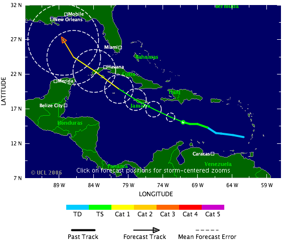
So what is the point, here. The point is that even as the storm came ashore the data showed that the storm was a Category 3 storm. The media was having a feeding frenzy because the storm had been a Cat 5 earlier and it was heading right at New Orleans and we all knew that if a storm that large hit New Orleans head on then the city would flood up like a soup bowl.
Well the amazing this is that this did
not happen. Yes I said this correctly, the initial impact of the storm did not cause the catastrophe that later occurred. Rather it was after the storm had passed the city that the winds on the western side of the storm, those typically considered to be weaker caused Lake Ponchartrain to batter the levees and cause the flooding. Everyone in the city had initially breathed a sigh of relief and then later realized that they were not out of the woods yet. The Army Corps of Engineers stated that the levees were designed to handle a Cat 3 so there was reason to believe that the city was safe, yet we now know that it wasn't.
There have been a lot of discussions, analyses and fingerpointing since this storm made landfall. The one thing that I have not heard is what were and are the roles and responsibilities of the various government groups. As is typical with blamestorming exercises in this country lately, the division falls along party lines. The Democrats immediately and consistently blame the administration. President Bush has responded to this by taking responsibility and continually expressing that there was a failure on all levels of government. I do not completely agree with this. The President has allowed his political opponents to frame the argument in their terms and he has been trying to dig out from under that ever since. Whenever I hear a discussion of how certain Democrat leaders in Louisiana have to take responsibility, the response is generally that we need to stop the blaming and come together to solve the problems. Well this is where I feel that we are doomed to repeat the same mistakes.
Until we recognize the proper roles of the various levels of the government, we will never recover.
- It is not the federal government's job to evacuate the population.
- It is the federal government's function to design and maintain the levees properly.
- It is the state government's role to activate the National Guard on state soil. Louisiana's governor did not activate the guard and was unwilling to hand over this authority to the President.
- When the Superdome was used as an impromptu shelter, no arrangements were made for food or water and when the Red Cross wanted to bring in supplies they were blocked by the state.
- When the Astrodome was set up as a shelter, the local officials in Houston made arrangements for food, water and other supplies. This was a local decision with no guarantee that the city would be re-imbursed.
- When Galveston ordered an mandatory evacuation for Hurricane Rita, Mayor Lyda Ann Thomas ordered buses to pick up anyone who could not get out. In New Orleans, the buses stayed idle and became flooded.
- When the evacuation of areas South and east of Houston did not proceed smoothly, Mayor Bill White and Governor Rick Perry were visible adjusting the plan and coordinating efforts by the minute. (I know I was stuck in the traffic). In New Orleans everything came to a halt and everyone waited for the government to arrive.
This lack of leadership on the part of the state and local government continues a year later. Mayor Nagin still does not have a plan for the reconstruction of the city. When Galveston was destroyed in the Storm of 1900, the city decided to raise the elevation of the city and construct a seawall. This was a local decision with very little federal funds. In New Orleans, no changes are being planned, and there are $110 Million approved by Congress available and not being spent. When some politicians stated that the city should not be rebuilt as it had been, they were called racist and shouted down.
As long as the leadership in New Orleans continues to sit around and wait for the federal government to bail them out, then New Orleans will never move forward. It is not news that the Federal Government is not very efficient. It was designed to be that way, DUH. Real progress must be made at the local level and the responsibility for first response in a catastrophe must also be held at the local level.
Hurricane have always and will continue to strike the Gulf Coasts. Until the proper roles of local and federal governments are understood, this tragedy will certainly repeat itself with horrendous results.
Trackbacked to
Dumb Ox News,
Woman Honor Thyself,
Planck's Constant,
Michelle Malkin


 John Weakens As It Nears Baja California Hurricane John has weakened to a strong Catagory 2 as it approaches Baja California, Mexico. This is still a dangerous storm and care must be taken. Hopefully any damage won't be as bad as it might have been when the storm was a Cat 4 (see earlier comments later in this post).
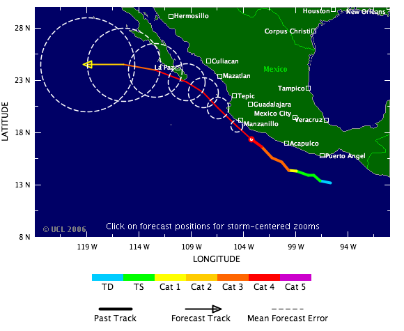
 Right in the same area is Tropical Storm Kristy. Kristy is expected to become a Cat 1 hurricane. Fortunately her path seems to be taking her away from land at the moment.